About Us
About Us
Conducting inspections, surveying, and aerial imaging for large-scale and complex sites can be quite challenging. At Sadaem, we leverage advanced drone technology to deliver precise, reliable, and tailored solutions that meet the unique requirements of each project. Whether it is infrastructure inspection, land surveying, or high-resolution aerial imaging, we guarantee accurate data, clear insights, and professional results every time.
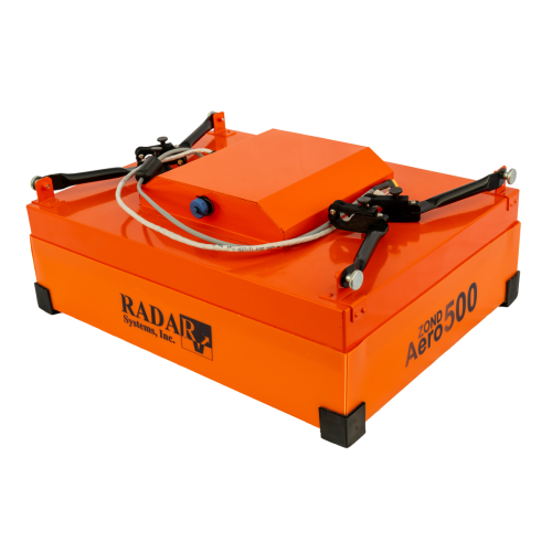
GPR Sensor
GPR Payload
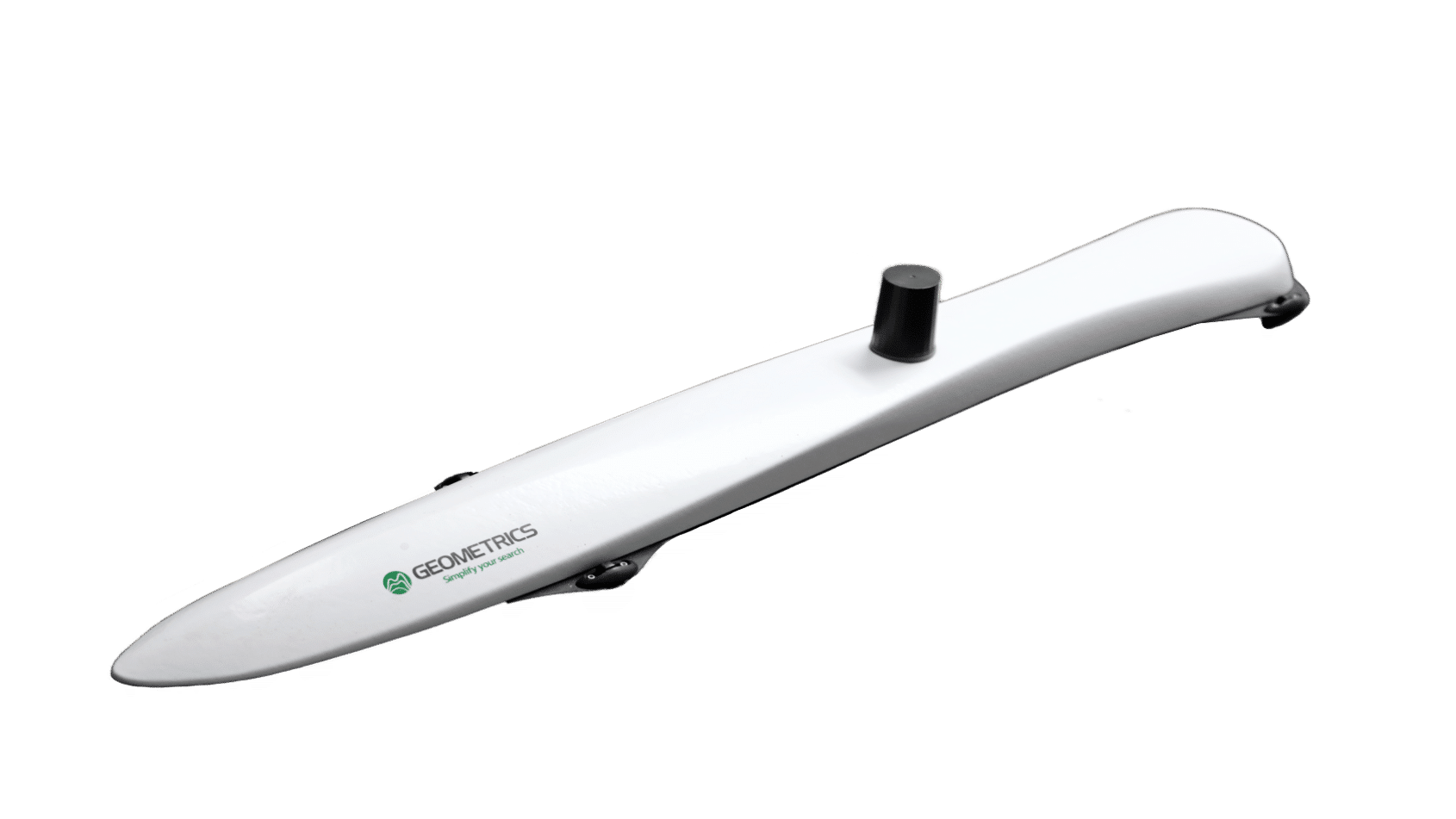
Magnetometer
Magnetometer Sensor
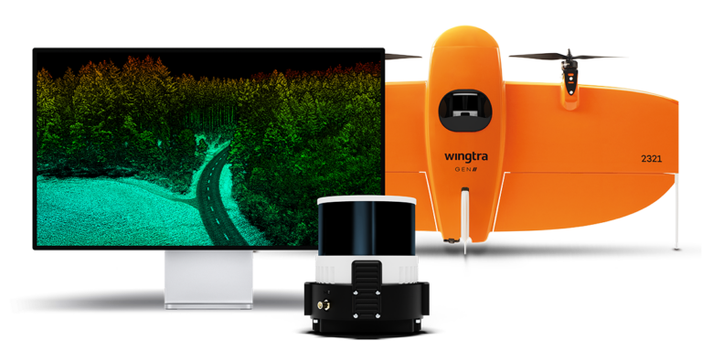
LiDAR Sensor
LiDAR Payload
LiDAR Drone
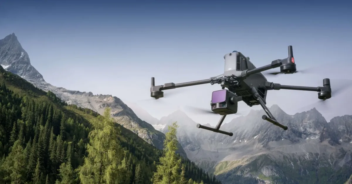
Industrial Operation
Our Vision
Our vision is to redefine inspection, surveying, and aerial imaging services by leveraging advanced drone technology, AI-driven analytics, and cutting-edge geospatial solutions. We aspire to expand across Saudi Arabia, setting new benchmarks in accuracy, safety, and premium, data-driven services for infrastructure, construction, and asset management.

Our Mission
At Sadaem, we deliver exceptional, innovative, and secure inspection, surveying, and aerial imaging services powered by advanced drone technology. Our mission is to enhance operational safety by minimizing the need for manual access, scaffolding, or high-risk fieldwork. We strive to transform aerial inspection and geospatial services by delivering accuracy, efficiency, and advanced data-driven solutions.


Accuracy

Safety

Innovation
