Geophysical Services
Specialized Geophysical Services
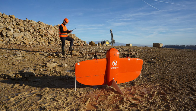
GPR-Based Underground Utility Mapping
GPR-based subsurface surveys for underground utility detection.
- GPR-based subsurface surveys for underground utility detection
- Mapping of buried utilities (power, telecom, water, gas pipelines)
- Identification of utility locations and depths with high accuracy
- Reduction of excavation risks and utility conflicts
- Integration with UAV, LiDAR, and GIS data
- Engineering-ready maps and technical reports (AutoCAD and GIS compatible)
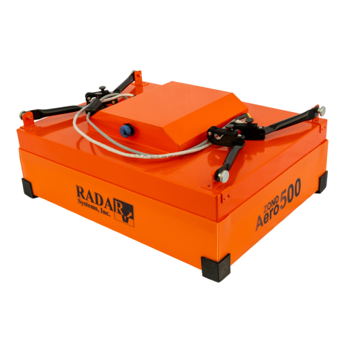
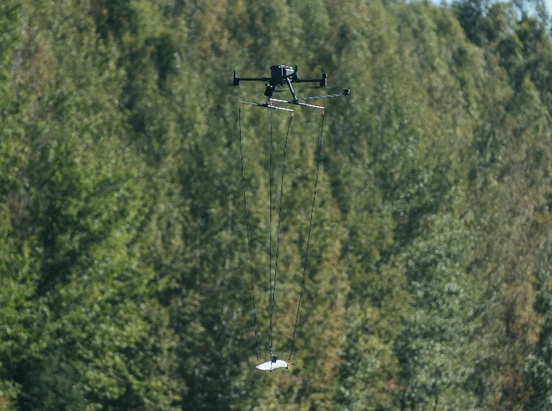
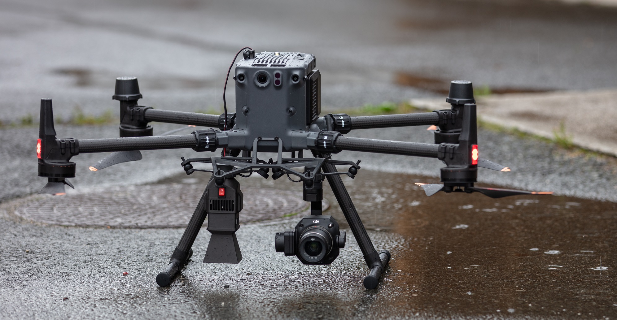
Drone-Borne Magnetometer Surveys (MagArrow II) for Mineral Exploration
Sadaem provides advanced drone-borne magnetometric surveys for mineral exploration and subsurface investigations using the MagArrow platform. Our UAV magnetometer solution enables efficient coverage of large and inaccessible areas, delivering high-quality magnetic data for geological interpretation and target generation.
- UAV-based magnetometer surveys for mineral exploration and subsurface investigations
- Detection and mapping of magnetic anomalies across large and inaccessible areas
- High-resolution data acquisition with precise flight control and positioning
- Support for geological interpretation, target identification, and exploration planning
- Engineering- and interpretation-ready datasets and technical reports, compatible with geophysical and GIS software
Aerial Photography & Project Documentation
High-resolution aerial photography and video capture using UAVs.
- High-resolution aerial photography and video capture using UAVs
- Professional documentation of projects and construction progress
- Visual monitoring of sites, assets, and infrastructure
- Periodic progress reporting for stakeholders and decision-makers
- Integration with mapping and inspection workflows
- High-quality visual deliverables for reports, presentations, and marketing